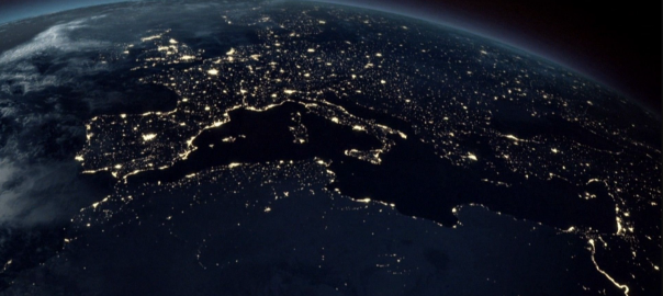
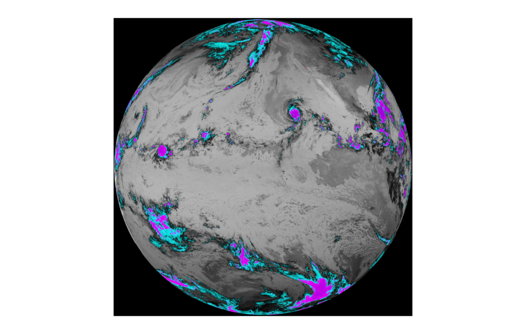
Geospatial technology describes a broad range of modern tools which enable the geographic mapping and analysis of Earth and human societies. Since the 19th century, geospatial technology has evolved as aerial photography and eventually satellite imaging revolutionized cartography and mapmaking.
Contemporary society now employs geospatial technology in a vast array of applications, from commercial satellite imaging, to GPS, to Geographic Information Systems (GIS) and Internet Mapping Technologies like Google Earth. The geospatial analytics market is currently valued between $35 and $40 billion with the market projected to hit $86 billion by 2023.
GEOSPATIAL 1.0 VS. 2.0
Geospatial technology has been in phase 1.0 for centuries; however, the boon of artificial intelligence and the IoT has made Geospatial 2.0 a reality. Geospatial 1.0 offers valuable information for analysts to view, analyze, and download geospatial data streams. Geospatial 2.0 takes it to the next level–harnessing artificial intelligence to not only collect data, but to process, model, analyze and make decisions based on the analysis.
When empowered by artificial intelligence, geospatial 2.0 technology has the potential to revolutionize a number of verticals. Savvy application developers and government agencies in particular have rushed to the forefront of creating cutting edge solutions with the technology.
PLATFORM AS A SERVICE (PaaS) SOLUTIONS
Effective geospatial 2.0 solutions require a deep vertical-specific knowledge of client needs, which has lagged behind the technical capabilities of the platform. The bulk of currently available geospatial 2.0 technologies are offered as “one-size-fits-all” Platform as a Service (PaaS) solutions. The challenge for PaaS providers is that they need to serve a wide collection of use cases, harmonizing data from multiple sensors together while enabling users to simply understand and address the many different insights which can be gleaned from the data.
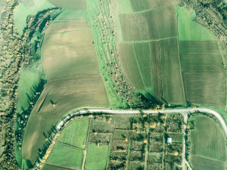
In precision agriculture, FarmShots offers precise, frequent imagery to farmers along with meaningful analysis of field variability, damage extent, and the effects of applications through time.
In the disaster management field, Mayday offers a centralized artificial intelligence platform with real-time disaster information. Another geospatial 2.0 application Cloud to Street uses a mix of AI and satellites to track floods in near real-time, offering extremely valuable information to both insurance companies and municipalities.
SUSTAINABILITY
The growing complexity of environmental concerns have led to a number of applications of geospatial 2.0 technology to help create a safer, more sustainable world. For example, geospatial technology can measure carbon sequestration, tree density, green cover, carbon credit & tree age. It can provide vulnerability assessment surveys in disaster-prone areas. It can also help urban planners and governments plan and implement community mapping and equitable housing. Geospatial 2.0 can analyze a confluence of factors and create actionable insight toward analyzing and honing our environmental practices.
As geospatial 1.0 models are upgraded to geospatial 2.0, expect to see more robust solutions incorporating AI-powered analytics. A survey of working professionals conducted by Geospatial World found that geospatial technology will likely make the biggest impact in the climate and environment field.
CONCLUSION
Geospatial 2.0 platforms are very expensive to employ and require quite a bit of development. The technology offers great potential to increase revenue and efficiency for a number of verticals. In addition, it may be a key technology to help cut down our carbon footprint and create a safer, more sustainable world..


